
Apollo Technologies Defense
One situation picture
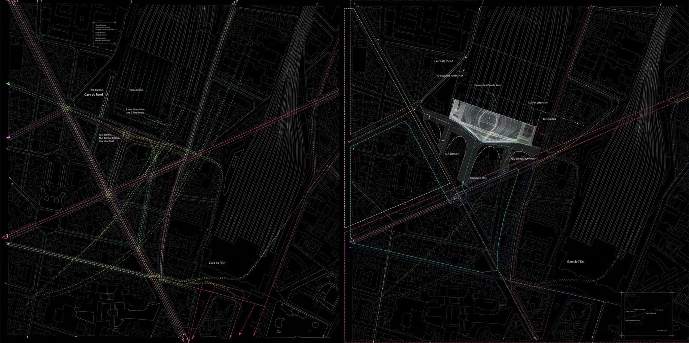
Drone, satellite and camera deliver their detections onto one shared map, with time and place for every event.
01
All sources on one map
Drone data, satellite images and camera detections in one view.
02
Timeline of events
What was detected when, traceable in chronological order.
03
Automatic logs
A log for every event, exportable and fully offline.